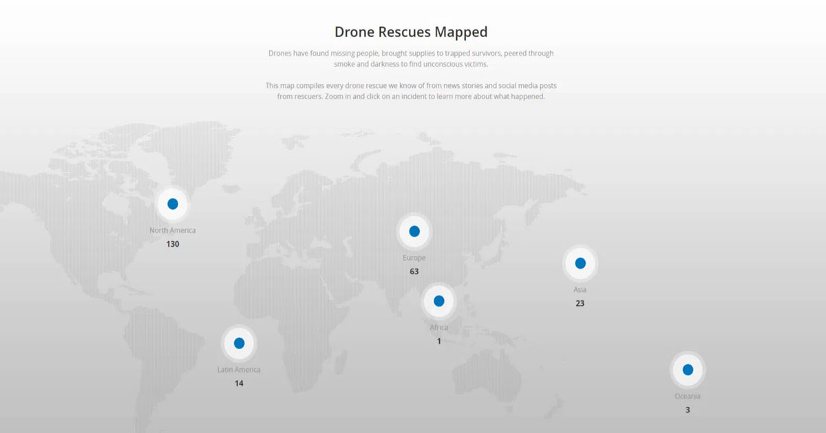
Leading Chinese drone manufacturer, DJI, has launched an online reference portal where it displays a world map that keeps count of how many people are helped by drones in emergency situations, reports mysmartchoice.org. Until now this drone rescue map has marked over 400 people who have been assisted in almost 200 different situations all over the world. This will continually be updated as the data number increases.
Presently, the map is compiled using information available from news sources and reliable departments like the emergency services, first responders and volunteer rescue teams from various regions of the world. The map contains the date and location of where the incident happened. It also incorporates a brief description of the event which is marked and includes a link to the original story or the source of the post.
Lastly, the map is easy to share so that it can be up-to-date and accurate. Meanwhile, DJI encourages public safety agencies and departments to submit drone rescue incidents that have not been included so far.
Romeo Durscher, senior director of public safety integration at DJI explains, “The drone rescue map is now the best global reference for how effective drones are in emergencies and allows the world to see the tremendous impact these craft have had in finding lost people, shortening searches, and reducing risks to rescuers whilst saving lives.” He adds, “Public safety workers already know how drones are revolutionising their work and now the rest of the world can see their amazing stories in one place.”
Not only is the rescue map a successful marketing tool for DJI, but clearly portrays the Industry’s “Drones For Good” mission, whilst encouraging the employment of more unmanned craft by safety agencies.
The map lists various examples of finding people lost in deserts, forests and mountains. Some incidents even show how some were rescued in the dark, using thermal imaging, as well as those in the sea and waterways after being supplied by a drone with survival kits like a lifebuoy until help reached them.
Also, the map shows how a drone-assisted search is faster and more efficient than a ground-based one, since a craft can locate people faster and guide rescuers more quickly, increasing the chance of saving lives.
Jason Mabee whose life was saved by a rescue drone, said, “I know how important drones are for people in distress because one saved my life.” He was found wounded and close-to-death in a park by a volunteer operator. “I and my family are eternally grateful that a stranger was able to find me using a drone.” Adding, “This DJI map will be a great way of demonstrating how useful these craft are in rescuing people like myself.”
Watch Video of Drone Rescue
https://www.youtube.com/watch?v=vA0DeRr3nss


